Obitoke Area
Category: Obitoke
The Land of Obitoke
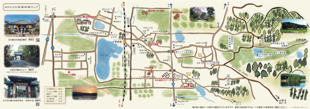
The area’s name, Obitoke, comes from the local temple called Obitoke, meaning a maternity belt is safely untied. In 858, during the Heian period (794-1185), Emperor Montoku’s wife prayed to this temple and had a safe childbirth, so the Emperor named it Obitoke Temple. In the eastern part of the area, a cluster of burial mounds from the 5th century are situated, and in the western part lies Kodaiji Pond, a reservoir constructed in the distant past. In the town, the sites of medieval castles from the Muromachi period (1336-1573) remain today. On the eastern edge, the ancient Yamanobe-no-Michi Road is located, and through the center runs the Kami-Kaido Road (Hase Kaido Road), which used to be the arterial road in the Yamato Basin, leading to Nara in the north and Tenri and Sakurai in the south.
Obitoke Station
The building of Obitoke Station on the JR Manyo-Mahoroba Line, which runs parallel to the Kami-Kaido Road, was officially listed as a registered tangible cultural property in 2022. Obitoke Station was constructed in 1898 as a station house for Nara Railway. This building is a historical source that shows the appearance of a station house constructed by a private railway company in the later part of the Meiji period (1868-1912), and it also retains the aspect of standard local station houses improved by the Ministry of Railways since the Taisho period (1912-1926). These points were recognized as a structure that conveys the history of railway development.
Address:
Imaichi Town Area, Nara City
Access:
Train: Approx. 6 minutes from JR Nara Station to Obitoke Station
Bus: Approx. 20 minutes from Kintetsu Nara Station
Inquiries:
TEL:0742-34-5135
Official website
https://www.city.nara.lg.jp/soshiki/108/10628.html(Nara Machikado Museum, Nara City)
Sightseeing Spots in the area
| Yagyu >tap for details |
| Tawara >tap for details |
>>Nara City Sightseeing Guide top
